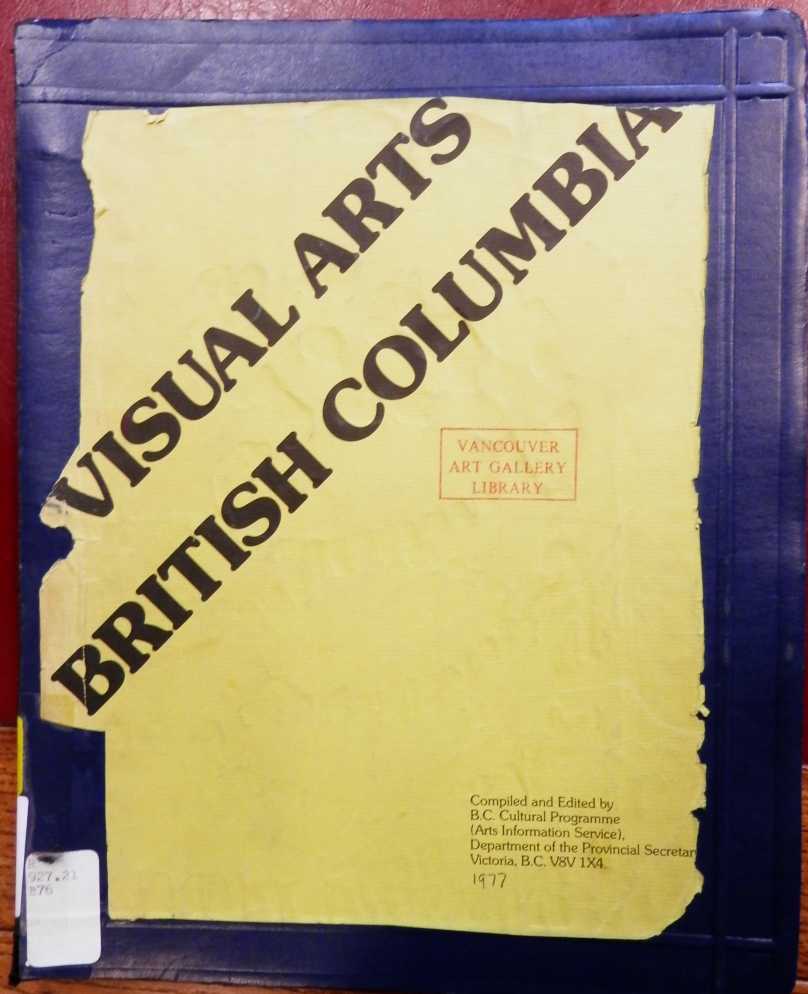
1977 index to BC visual artists
Home Publications Artwork News Links About

Release 1.5 is now available for purchase for the same price of $175.00 inclusive of shipping and taxes. Existing owners of BC ARTISTS may upgrade to this version (or any subsequent version) for $30.00.
Trips were to Haida Gwaii (2); Burns Lake via Prince George (1); Quesnel either by direct flight / via Prince George / or via Williams Lake (7); 100 Mile House either via Williams Lake or by driving from Vancouver (8); Williams Lake by direct flight (1). A smattering of trips to the Cariboo were able to be strung together, but organizing that was harder than expected. A holiday in the Okanagan added another car rental (in that case a MODO car) and another 700 miles driving.
Business trips were mostly one day fly-and-dash expeditions, twelve or fourteen hours from home to home in order to be on site for two to four hours. There were 7 business overnighters, though, and 6 personal nights away from home. When I say I have holidays coming up folks always ask "where am you going" ... ha ha. I'm pretty tired of going through security, hanging around in departure gates, working my way through the throngs ...







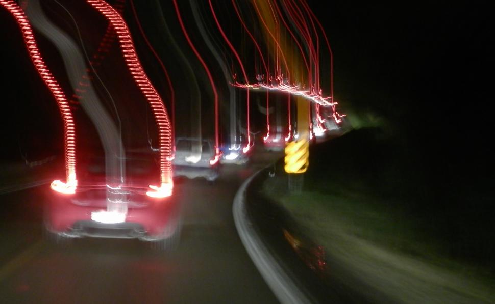
Tsunami evacuation at Masset BC, October 27 2012 (higher ground in sight)
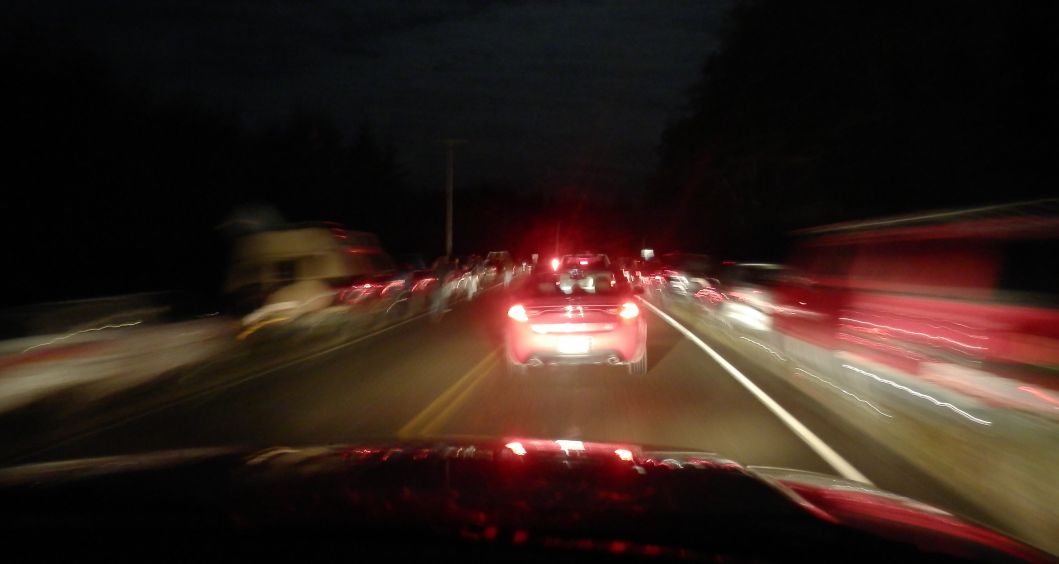
Tsunami evacuation at Masset BC, October 27 2012 (relative safety, cars
parked both sides of highway)
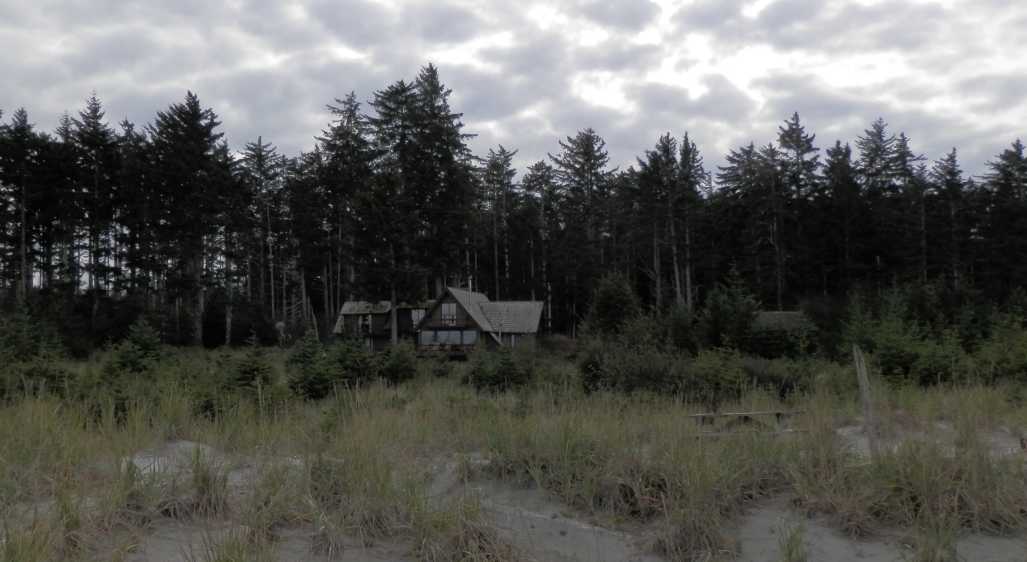
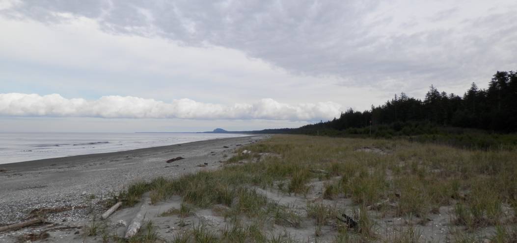
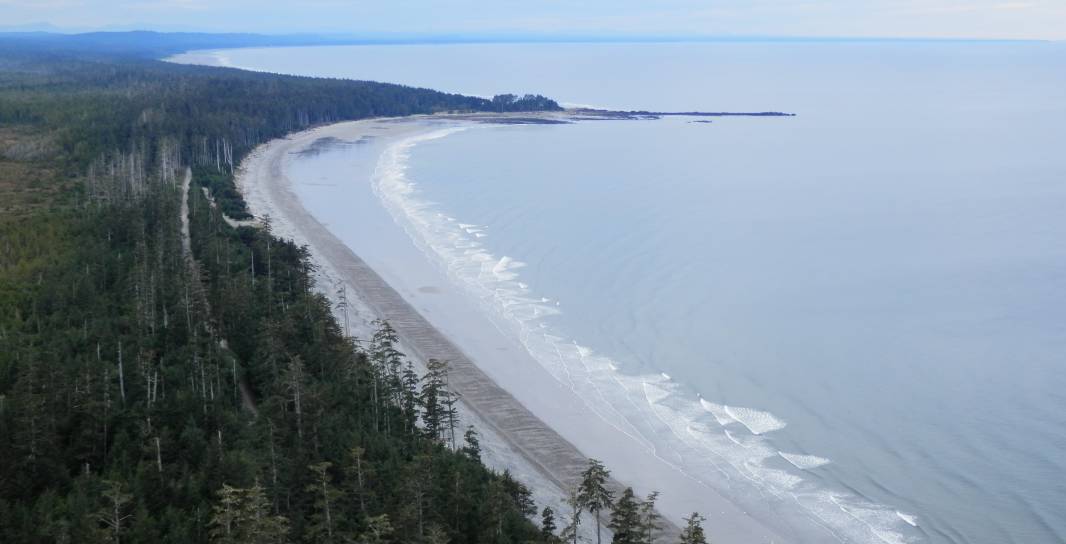
For myself and the lodge's Manager/Chef Neil Thomson, the quake started while we were relaxing in overstuffed leather couches in the main lodge's living room. There was a good fire going in the airtight stove, and we could see a white line of surf off in the distance beyond the sliding glass doors that open out onto North Beach, about 10 Km east of Masset, and halfway between Masset and Tow Hill.
The whole building shivered and creaked like a sailing ship at anchor that is riding a passing wave. This was immediately followed by the entire building (and everything in it) starting to shake and vibrate. While this was going on the whole building started swaying from south to north, south to north, over and over. The shaking effect lasted for about 30 seconds, but the swaying went on for about an entire minute. Along the way there were some random shocks and shakes. One of the biggest ones was followed by the lights going out ... for 2 seconds, then back on! Whew!
This was by far the biggest earthquake I'd ever felt, and I even managed to film a digital movie of 66 seconds of the quake action. Neil and I discussed what to do, and we both started surfing internet, television, and cell phones to find out what the story was. Neil's mother was the first to call and give us solid information, although by then we'd started finding stuff on the news.
In retrospect it was surprising that we didn't just hop in the fastest vehicle and get the hell out to higher ground. If a tsunami alert was to be issued, the lodge's phone would ring advising us to flee. A few minutes later the phone rang, it was the evacuation alert. Holy crap! Neil said that we would both flee in his company vehicle, I agreed, and then ran to my cabin to spend a few seconds grabbing useful possessions.
We both got to the SUV about the same time, threw stuff in, and took off down the road with Neil driving. He did a quick stop at the neighbour's place to ensure they had evacuated, then we headed down the 10 Km road to Masset, part one of our evacuation route. There were a bunch of cows on the road, and a bunch of deer on the road, which had to be dodged. We came up behind someone carefully driving the speed limit. Hmmm.
At the junction to Masset there was a continuous line of cars coming over the bridge and turning south on the evacuation route. Suddenly it was bumper to bumper rush hour, yet we were still about 15 kilometres from safety if a tsunami hit. At this point the road simply goes along the east shore of Masset Inlet, and doesn't gain altitude for what seemed like a long long time that night.
Once the road went up a hill some folks pulled over at the side of the road, which started slowing down the evacuation of those who were still trying to get up the hill. We finally pulled over and stopped where we thought it was okay, but were shortly afterwards advised to keep going.
As it turned out, the evacuation area is pretty much out of cell phone range from the nearest repeater, so once the whole village was safe they were almost all out of communication with the outside world. We tuned into CBC radio to keep posted on the news. One man phoned from Masset to report on the quake, be he apparently hadn't evacuated.
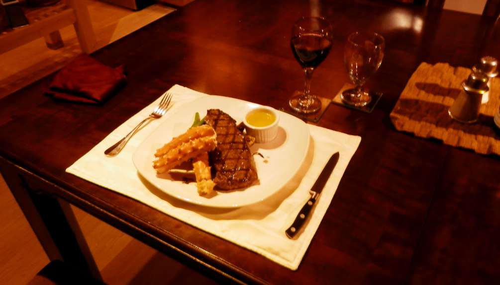
We finally reached the evacuation area, and settled in to wait for the all clear. We were allowed to return to Masset about midnight, and we drove back to the lodge. A late dinner was followed by bedtime, and aftershocks around 3 a.m. and at 1 p.m. the next day kept everyone on edge. My flight left a little late, and I had a feeling of relief as the plane lifted off the runway.
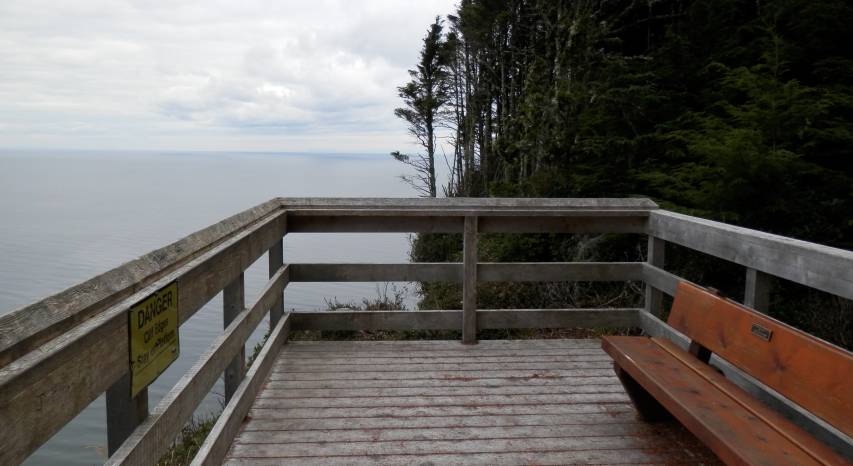
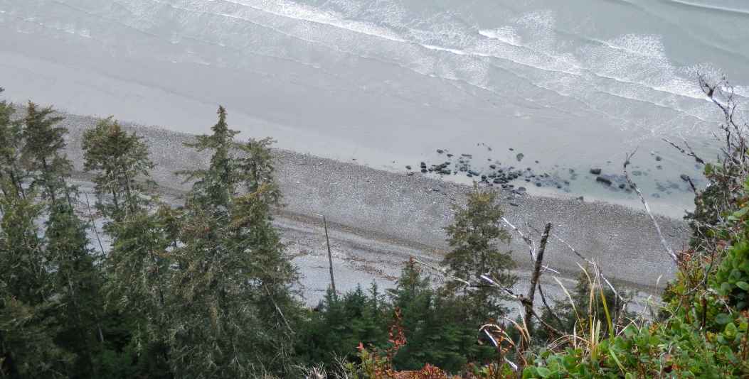
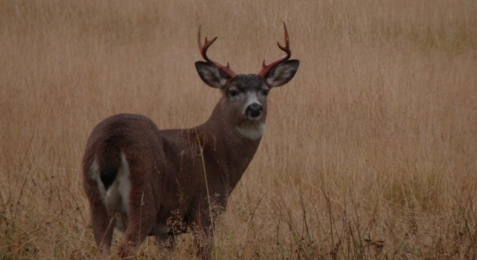
Chronological note: the photographs below were all taken prior to Saturday night and the earthquake, with the exception of the deer, which was observed on the way to the airport Sunday.


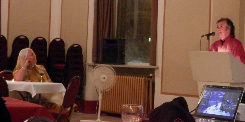
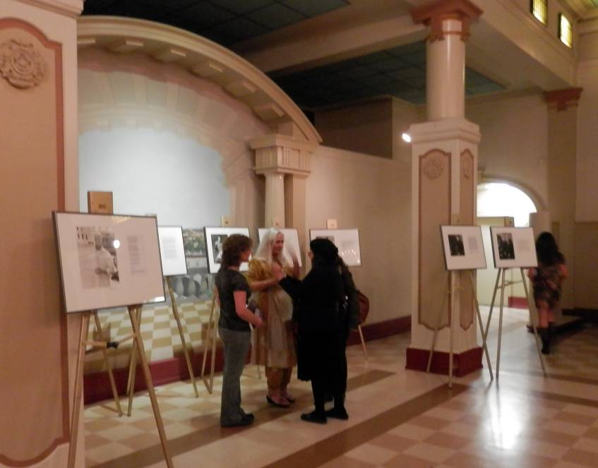
Peter Haase's introduction with Mona Fertig to the left
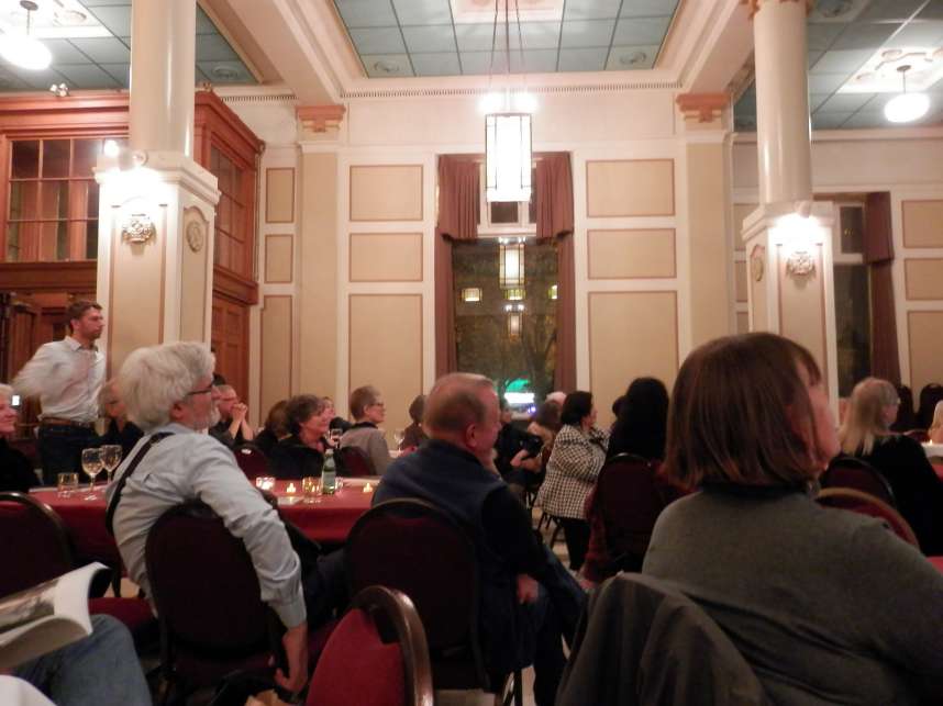
Some of the crowd listening to the opening remarks
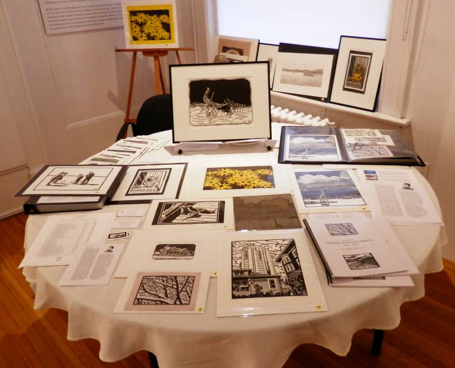
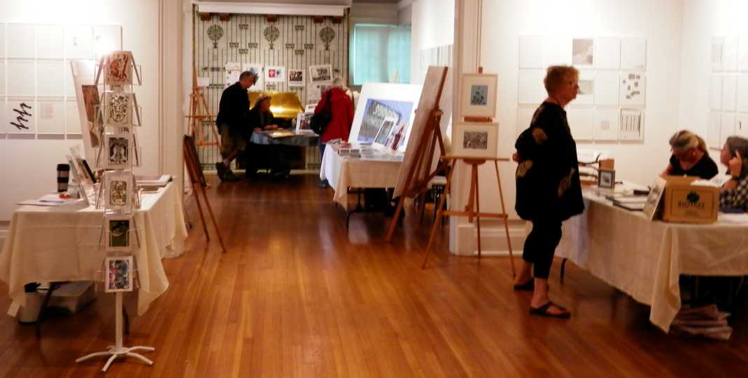
The Sim Publishing display at the Burnaby Art Gallery.
However, all of that went well, with transportation to and from the gallery taken care of with a MODO rental for 7 hours. The talk and demonstration had a number of attentive listeners, who asked some good questions along the way. Visitors at my sales table were all impressed by the images, and I showed them how I created the final image from any number of different starting points. Three prints were purchased by happy customers, and I was paid a speaker's fee for the lecture, so it was a good day all round for Sim Publishing.
Special thanks to management and staff at the gallery, including Darrin Martens, Bob MacIntyre, Shaun Dacey, John Ramsay, Talya Fuchs, and others whose names I didn't get (or can't remember) especially the kitchen volunteers and sales people. All of you made the day run smoothly and calmly, and enjoyable for all.


The Yellow-bellied Marmot on guard
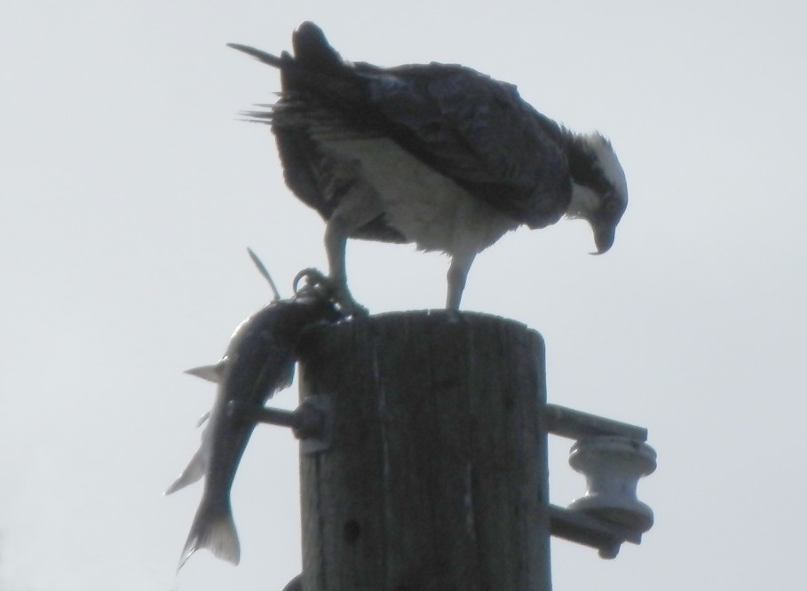
Osprey with fresh fish for dinner
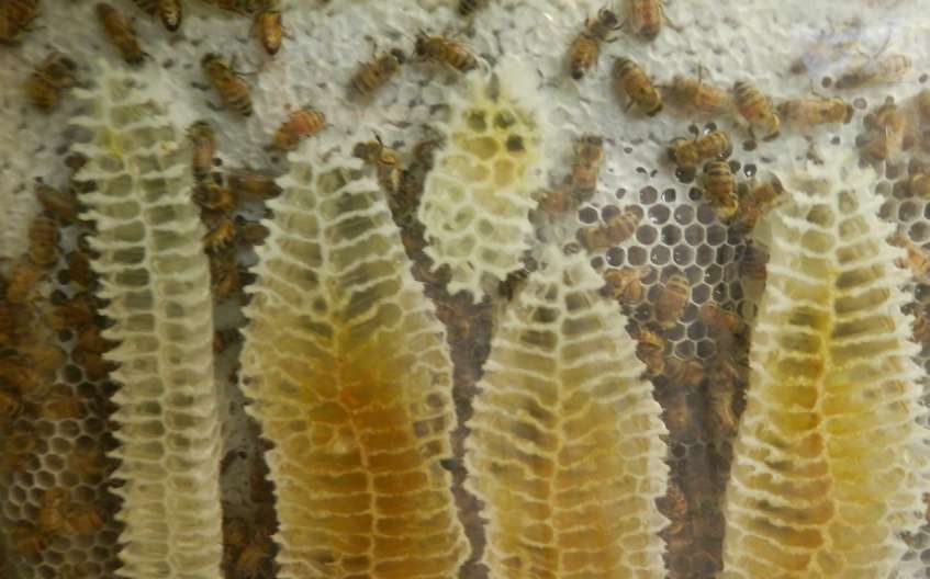
Beehive under glass at Scout Island Nature House
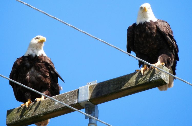
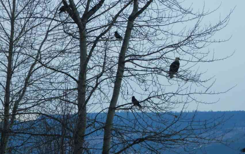
Bald Eagles
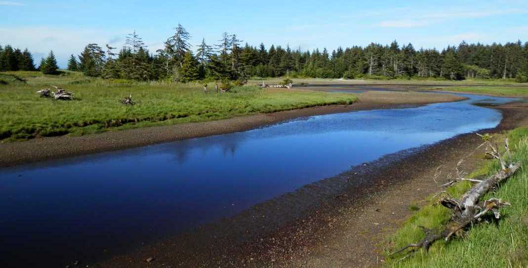
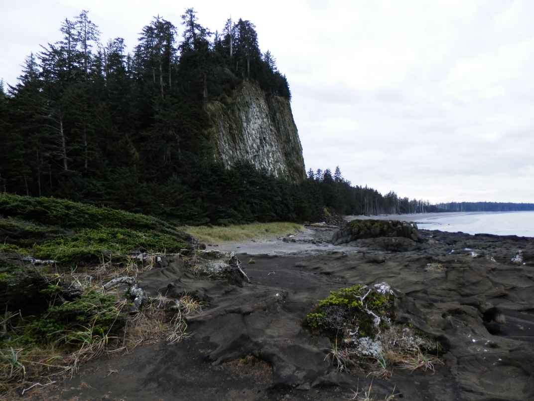
On the road to Tow Hill
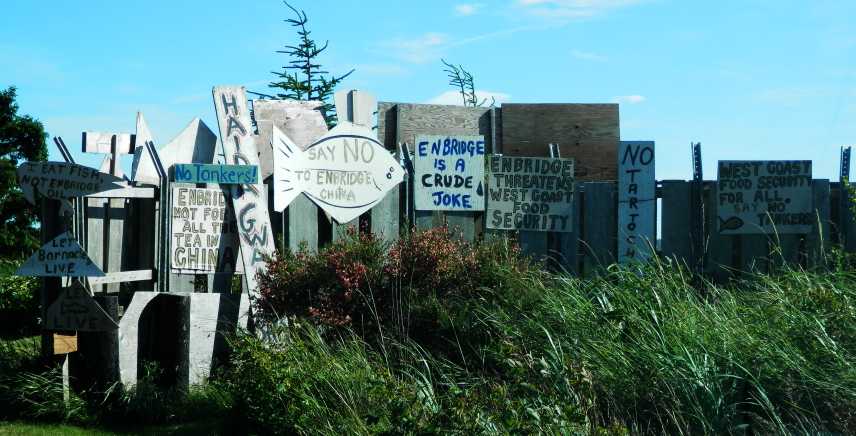
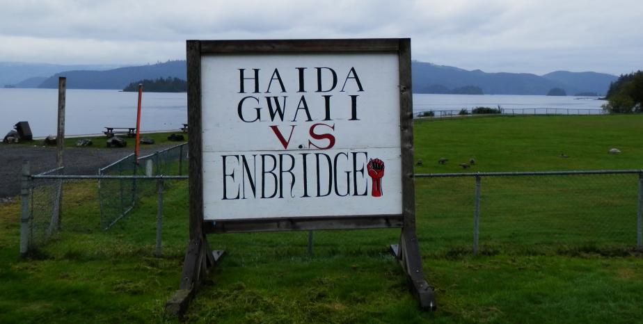
Protest signs at Old Masset
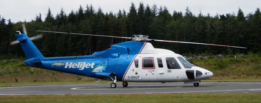
Helijet carrying fishermen
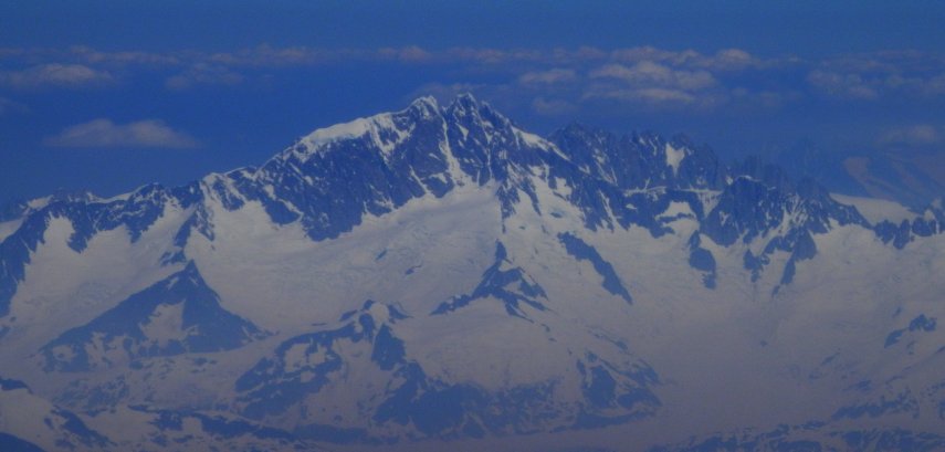
West face of Mt. Waddington seen on flight south to YVR
I must thank Cheryl Siegel, Librarian at the Vancouver Art Gallery, for nominating BC ARTISTS for the Dwyer Award, and for her tremendous support of the project during the past 14 years while I spent hundreds of hours doing research in the art gallery Library. The staff has always been helpful, proactive in offering me information, and in putting forth new fonds for review. Cheryl has been a wonderful cheerleader for the project. Thank you.
In the meantime, whilst waiting for the award to be made, I have (of course) continued to work on BC ARTISTS. Since the nomination was submitted in December, I have indexed 2,400 more artists, added 55 more images, and listed many more publications. Biographical summaries and artist websites are being updated constantly. Work continues on integrating the ART & ARTISTS IN EXHIBITION: VANCOUVER 1890 - 1950 files and interface with the BC ARTISTS files.
In February and March updates paused for a while as I packaged up many copies of BC ARTISTS along with manuals and marketing material, and mailed out an "across the board" update of Release 1.3 to get folks on the same version. Now, having completed that, I am progressing with further bibliographic input, and the addition of numerous images. Essentially, I have a long list of things "to do" to BC ARTISTS, but am proceeding by doing each item on the list in its entirety. Thus, the 2011 Christmas holiday became a marathon of compiling the 430 volume bibliography of BC artist monographs, coupled with a physical rearrangment of the volumes on my shelf as they were catalogued. And so, on to the next item on the list ...
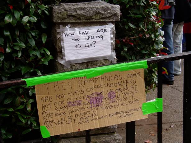
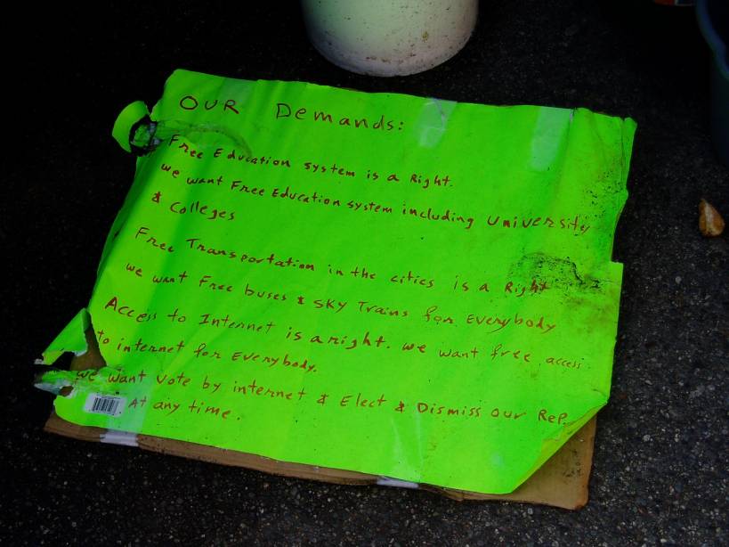
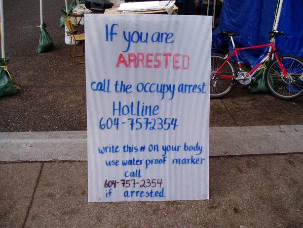
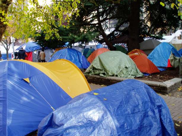
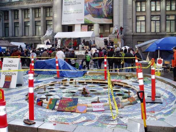
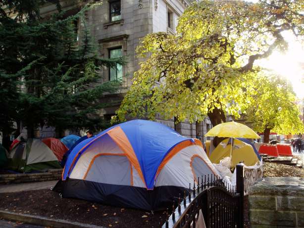
Signage was much in evidence throughout the encampment. The sign taped to the handrail was a bit ironic, it admonished people not to lock their bikes to the handrail, it was for the use of handicap people only. The sign was taped to the top rail in a way that would actually impair "graspability" and would have better been attached lower down.
Regardless of that kind of nit-picking, I did have to admire the spirit and conviction of those who were protesting. The encampment had the air of a 1960s be-in, with the same common belief that people joining together to help each other out is a good thing. I did have to chuckle a bit at one of the demands on a sign being "access to the Internet is a right" as the Internet is a relatively new-fangled thing that we didn't have back in the 1960s. Some strange events have rolled through this part of town in the past while ... the 2010 Olympics ... the 2011 hockey riot ... OCCUPY VANCOUVER ... what's next?
In the meantime, Sim Publishing has been mailing out updates to all of the owners of BRITISH COLUMBIA ARTISTS, trying to get everyone onto the same Release 1.3. We are close to completing that task. Much of the past year has been spent adding large amounts of information to the project, and as a result marketing and updating fell behind.



|
Some slices of BC from my travels in the past few years ... from top to bottom: Savary Island, looking north towards Desolation Sound Georgia Strait, looking west over Gulf Islands to Vancouver Island Predator Ridge, Okanagan, looking northeast Sheridan Lake, (frozen) between Little Fort and 100 Mile House Hillside south of 100 Mile House Fraser River, south of Lytton Fraser River, and train south of Lytton East of Nicola Lake Fence, south of Cache Creek Misty road, south of Kamloops Misty road, west of Merritt Misty road, south of 100 Mile House Rocky Mountain foothills, looking west from Williams Lake English Bay, Vancouver Coal Harbour, Vancouver Vancouver Harbour, Vancouver Sunset, Savary Island, looking north |
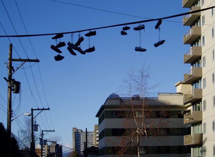
... guess we put the boots to the old year (cough, sorry) ...
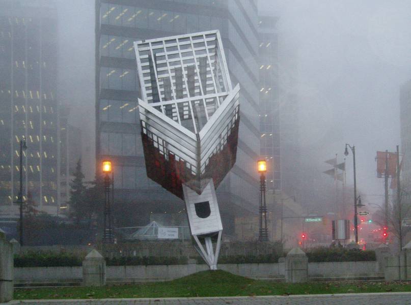
... I found another batch of photos of this "banned" sculpture, these ones taken on a foul, wet, blowing, cold day ...
